MAPS. - Shop
Products In This Category:
-
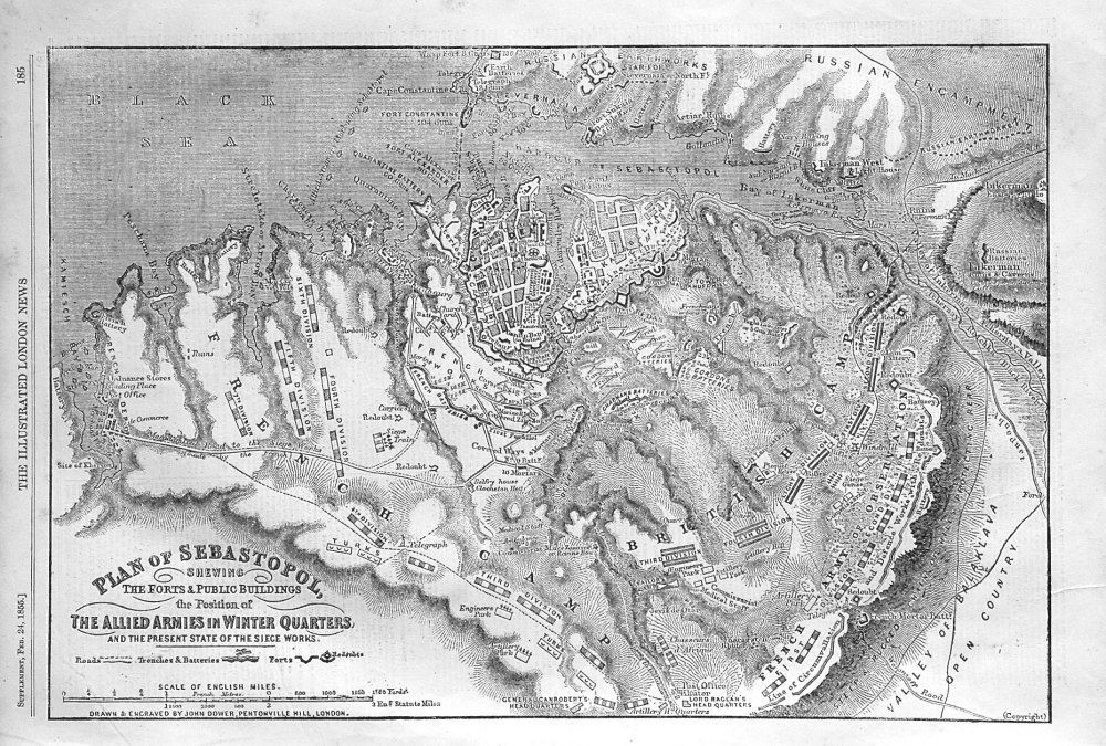
- Plan of Sebastopol. 1855
- £12.50
-
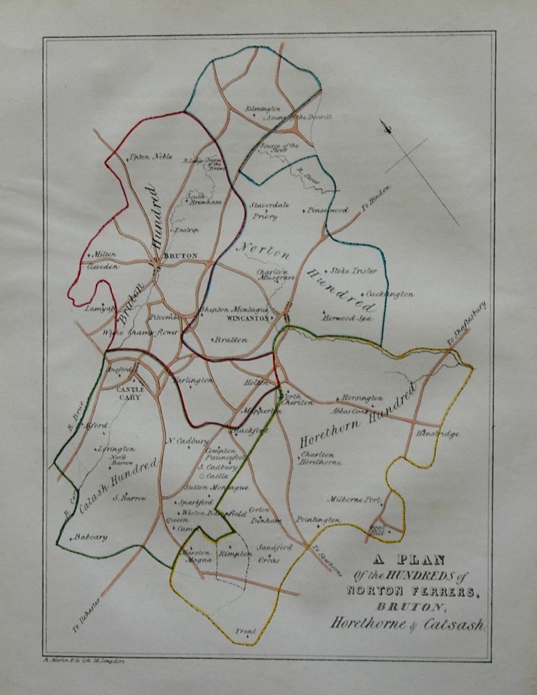
- Plan of the Hundreds of Norton Ferrers, Bruton, Horethorne & Catsash. 1839
- £15.00
-
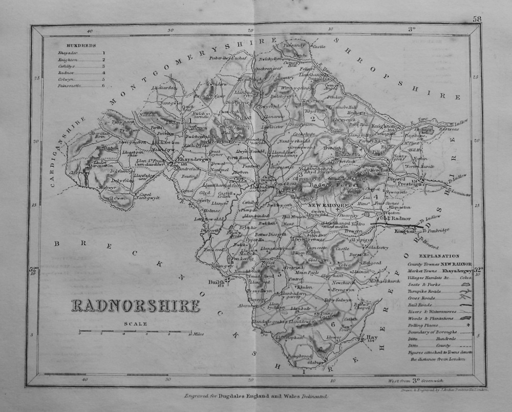
- Radnorshire. (Map) 1845.
- £11.50
-
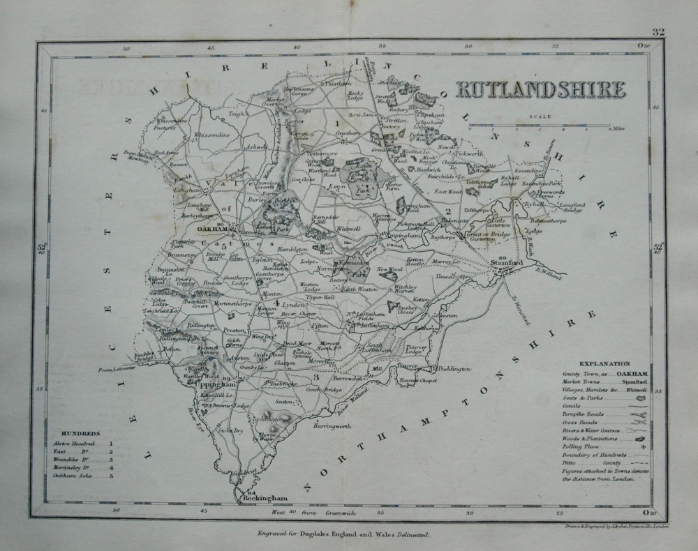
- Rutlandshire. (Map) 1845.
- £10.00
-

- Seat of War in the Crimea. Map of the country between Simpheropol and Baidar, to Illustrate the Movements of the Allied and Russian Armies. 1855.
- £12.00
-
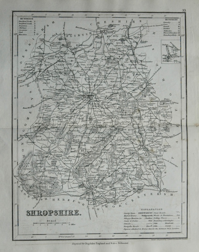
- Shropshire. (Map) 1845.
- £12.00
-
- Sketch Map of the Egyptian Soudan.
- £11.50
-
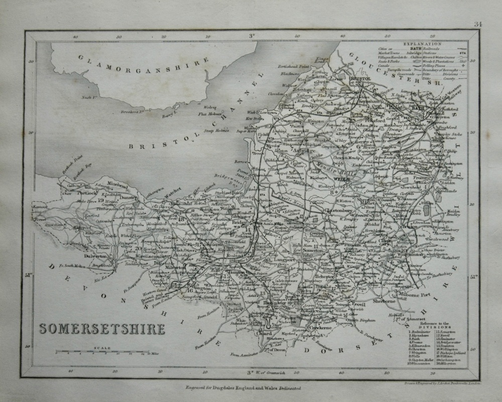
- Somersetshire. (Map) 1845.
- £11.50
-
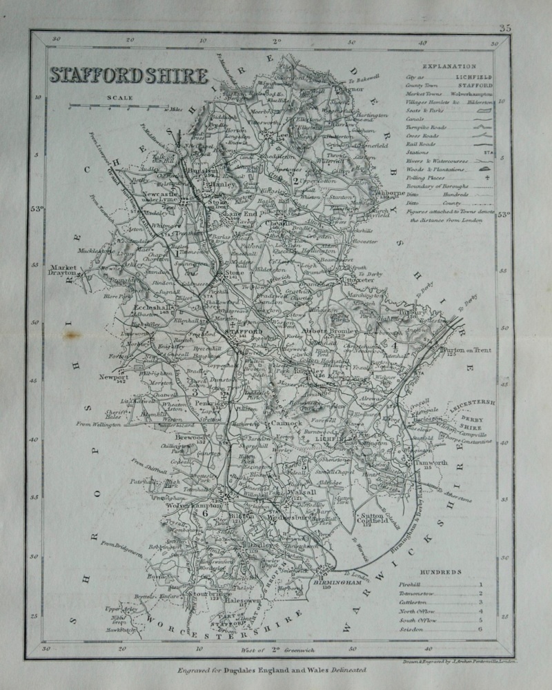
- Staffordshire. (Map) 1845.
- £12.00
-
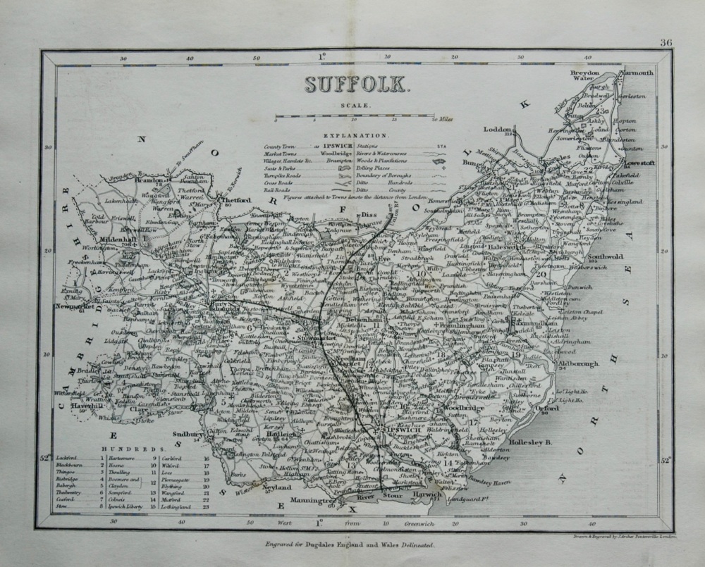
- Suffolk. (Map) 1845.
- £12.00
-
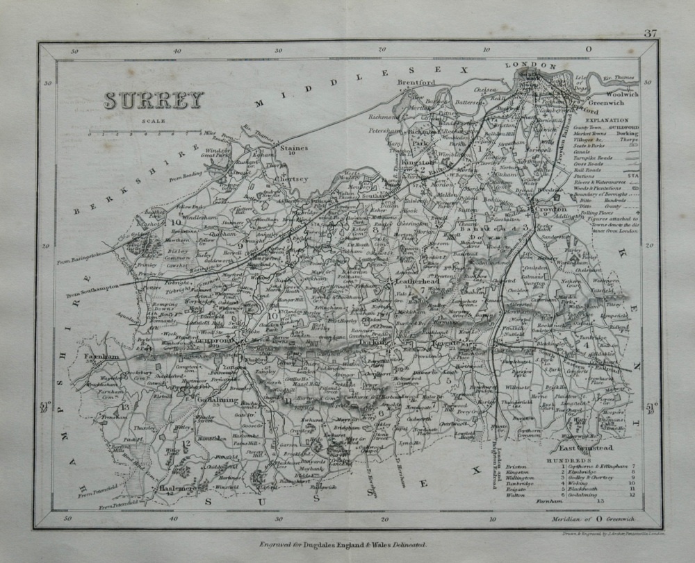
- Surrey. (Map) 1845.
- £11.50
-
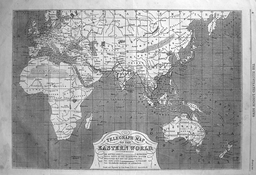
- Telegraph Map of the Eastern World. 1865
- £12.50
-
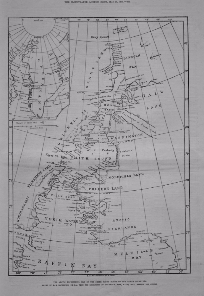
- The Arctic Expedition : Map of the Smith Sound Route to the North Polar Sea. 1875.
- £14.50
-
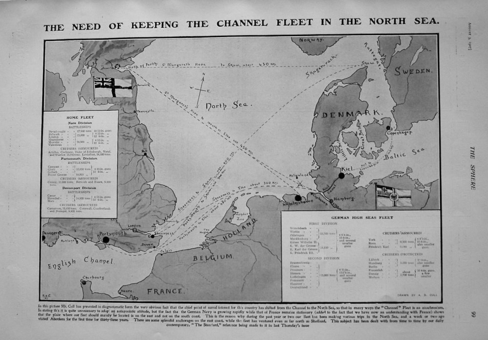
- The Need of Keeping the Channel Fleet in the North Sea. 1907
- £11.50
-
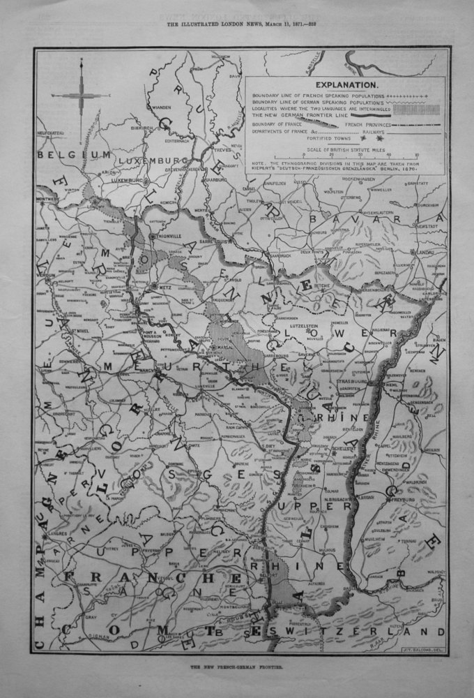
- The New French-German Frontier.
- £14.50
-

- The West-End Railway District, London. 1859.
- £14.50
-
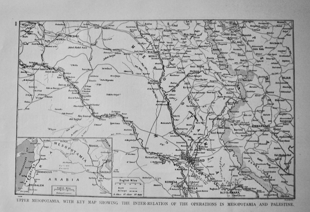
- Upper Mesopotamia, With Key Map showing the inter-Relation of the Operations in Mesopotamia and Palestine. (1914 - 1918 War.)
- £11.00
-
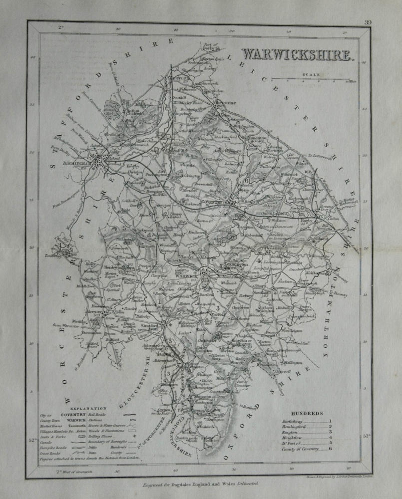
- Warwickshire. (Map) 1845.
- £12.00
-
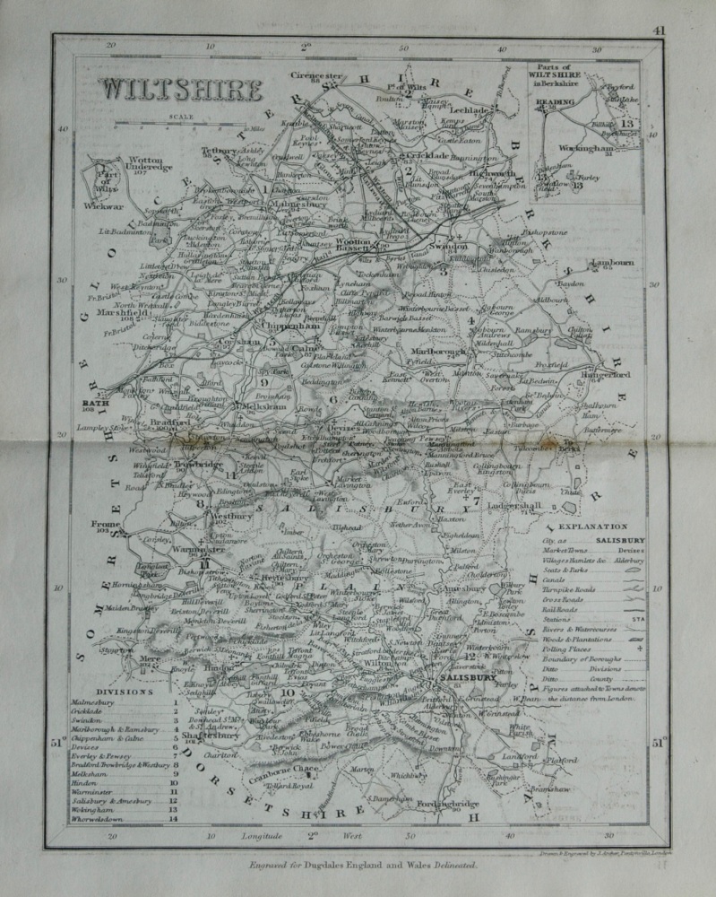
- Wiltshire. (Map) 1845.
- £11.50
-
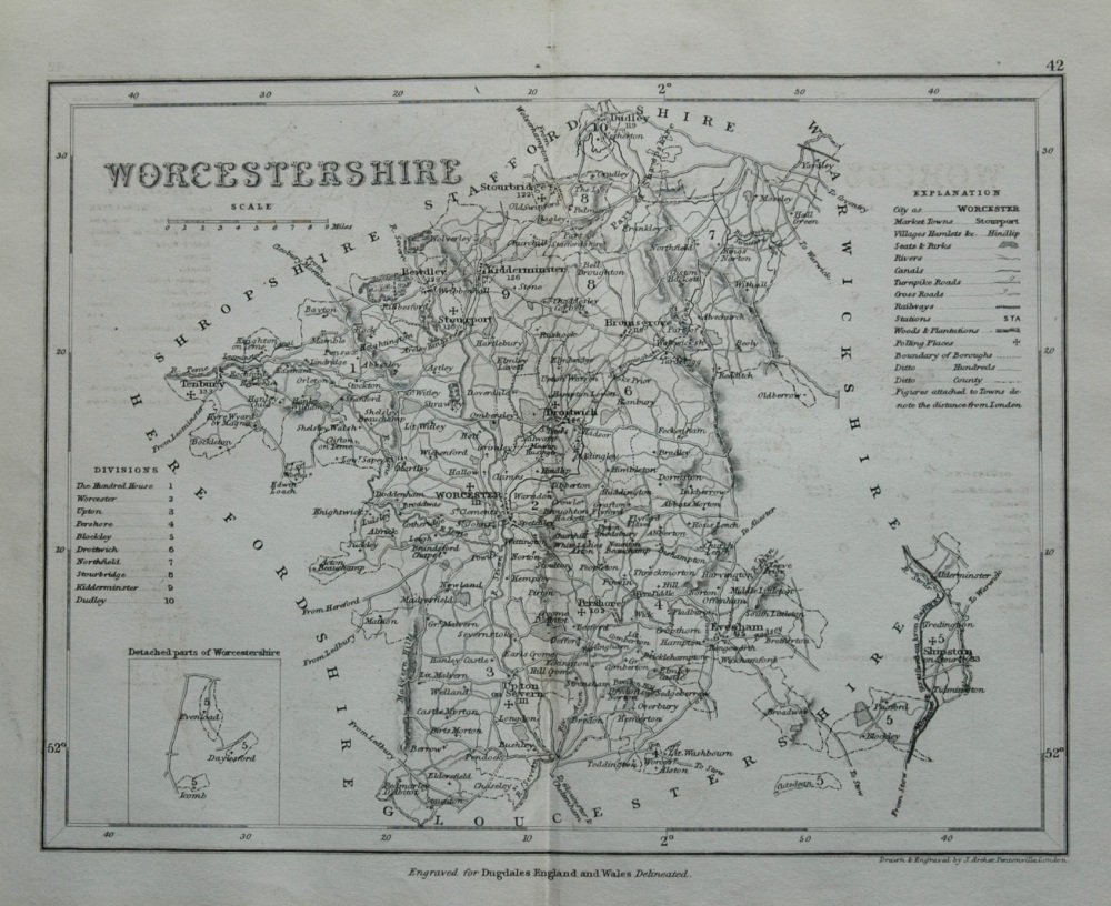
- Worcestershire. (Map) 1845.
- £12.00
-
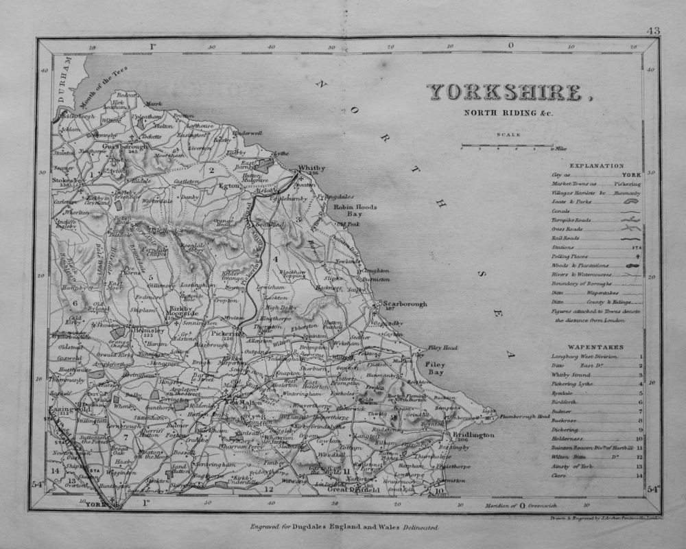
- Yorkshire, North Riding & c. (Map) 1845.
- £11.50
-
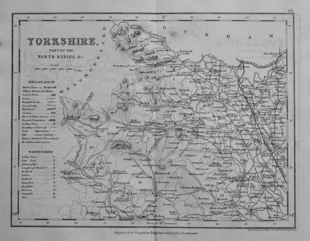
- Yorkshire, Part of the North Riding &c. (Map) 1845.
- £11.50
-
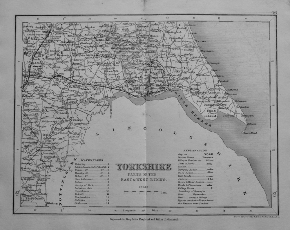
- Yorkshire, Parts of the East & West Riding. (Map) 1845.
- £12.00
-
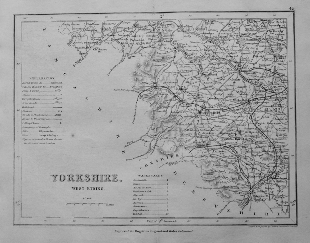
- Yorkshire, West Riding. 1845.
- £11.50
